Over the Christmas week, CapX is republishing its favourite pieces from the past year. You can find the full list here.
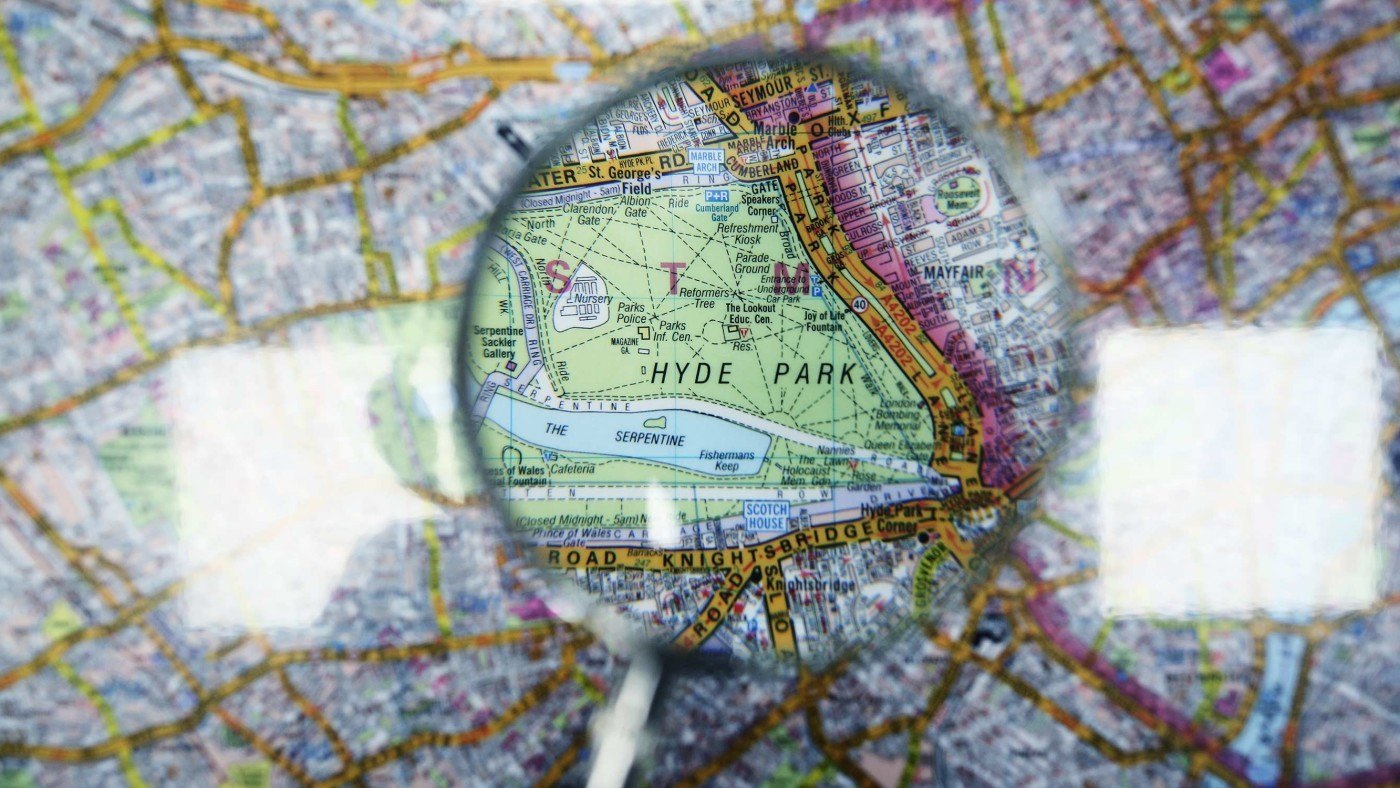
This year marks the 80th anniversary of the first publication of the London A-Z Map. Started in 1936, the Geographers’ A-Z Map Company Ltd is now the largest independent map publishing company in the UK, producing over 300 paper publications, including the much loved London A-Z, Street Atlases, Visitors Guides, and Great Britain Road Atlases.
Not only is it iconic in style and hailed as the catalyst to the modernisation of cartography; it is also a lasting celebration of its founder, Mrs Phyllis Pearsall MBE.
Her story is one of stamina, determination and British eccentricity that challenged existing norms, as she imposed her publication on an industry resistant to change.
Phyllis died in August 1996, so this year also marks 20 years since her passing.
Phyllis’ early life was far from stable. She was born in 1906 to Alexander Gross, a Hungarian émigré who founded the cartographic company Geographia Ltd in Fleet Street, and an Italian-Irish mother Isabella Crowley. Initially growing up in East Dulwich, London, Phyllis was educated at a private boarding school near Brighton until the age of 14 when her father’s company went bust and the family went bankrupt. Her mother had taken to drinking, and her father relocated himself and his company to America – leaving Phyllis more or less abandoned.
She took herself to France, and taught English at a girls’ school in Fécamp before studying at the Sorbonne. Whilst she had almost no money, and slept rough for a good portion of her first years in Paris – using newspapers for insulation and drying her underwear on the radiators of public libraries – she remembers her time in Paris fondly in her memoirs:
“I truly starved in Paris, but I enjoyed it. That bit of poverty put money into perspective for me. I have never really wanted more than enough to keep me going and firmly expected a bedsitter to be my end.”
It was here she met and married her brother’s friend, Richard Pearsall. The couple spent eight years together, often travelling to Europe from their base in Paris, before she left him – so the story goes – in the middle of the night during a trip to Venice, without a word of explanation.
Moving back to London, Phyllis has some success painting portraits. She was interrupted by her father, writing from America to ask if she would publish a map he had produced, in England on his behalf.
At this point there are several versions about how her forays into mapping began, each tinged with Phyllis’ idiosyncrasies. Her own anecdote is that she was going to a party in Belgravia and got lost on the way as the Ordanance Survey map she was using was 19 years out of date. Perhaps more likely, she got lost whilst on a selling expedition of her father’s map. What we do know is she had decided that the rapidly expanding London required a new type of map: one that was up-to-date; in an easily portable and readable book form, rather than one that unfolded into an unmanageably large sheet of paper; with an index of streets at the back. Around the age of 29, she commissioned some draftsmen to draw up the map.
This was no mean feat. Maps at that time were all hand-drawn on tracing-paper with nib and ruling pen and ink, a skill acquired after a five-year apprenticeship and years of practice. Some say she enlisted the help of her father’s best map draftsman, James Duncan, for the task.
Plotting details of one of the most irregular, chaotic cities in the world wasn’t easy either. Again, Phyllis’ tales of walking every street in London herself (keeping note of road names, house numbers, places of interest such as museums and even bus routes) are implausible. London’s then 23,000 streets would have amounted to over 3,000 miles, which would have taken her over a year walking 18 hours a day. Not that Phyllis wasn’t bloody-minded or ambitious enough for the challenge, of course, but the feat would have been largely unnecessary. Phyllis would have had access to the existing cartography, including Bartholomew’s Reference Atlas of London and Suburbs, (published and widely available from 1908 onwards), London’s local authorities for their street plans, and even her own father’s map of London. Indeed, in the foreword to her book, Bedsitter to Household Name she acknowledges that “never would I have been a map publisher if had not my father been one“.
Publishers had all rejected her maps, so Phyllis founded the Geographers’ Map Company to print them herself. In 1936 she printed 10,000 copies and set about selling them directly to customers. Unfortunately, the atlas had been printed on the wrong presses, and the index was a mess. Trafalgar Square was completely missing, as Pearsall had knocked a shoebox full of file cards marked “T” out of her High Holborn office window and not all had been recovered. Phyllis was turned down by Hatchards, Selfridges and Foyles. Undeterred, she eventually persuaded WH Smith to buy 1,250 copies which she delivered to them in a hand-barrow borrowed from the pub next door. Despite the disastrous lack of professionalism, the maps were a success and within weeks she had received orders for every major railway station in London.
The second world war was a difficult time for the company as selling maps to the public was forbidden and maps at a larger scale than 1 inch:1 mile could no longer be published. Phyllis’ now extensive knowledge of cartography and typography kept her employed as she was made the head of a section in the Home Intelligence Division at the Ministry of Information. However, after the hiatus, Phyllis resumed her hands-on management of the company with relentless drive and zeal. In 1945 there was a shortage of paper for publishing use in England, so she took the atlas to Amsterdam and continued printing there. It was returning from one of these trips to the continent that Phyllis was badly injured in an air-crash. A partial recovery many months later allowed her to return to the office where neglect by her then managers had led to a downturn in the company’s affairs.
The atlas owes a lot of its success to its design, even though the early A-Zs were black and white. While guides from earlier eras gave importance to churches and other grand buildings, the A-Z was brutalist in its simplicity. The focus was the roads, all other landmarks were secondary. The eventual, striking colour scheme – orange for A-roads, yellow for B-roads – entered the lexicon of London taxi drivers, who refer to them as “oranges” and “lemons”, whilst the typeface has imprinted a distinct mental image of London in the brains of its users.
Peter Jones, President of the British Cartographic Society, dubs the A-Z a “design classic” because “it’s taking what is a very complex area and rendering it very simply”. Along with Harry Beck’s Tube map and the double-decker bus, the London A-Z is a potent icon of the British capital’s rich history and evolution. Armed with that chunky paperback, you can travel all the way from Aaron Road, E6, to Zoroastrian House, NW6, and never get lost. But it is Phyllis Pearsall’s extraordinary life story, in which it’s sometimes difficult to untangle fact from romance, that chimes so well with Londoners today.
She has no doubt inspired many in the art and business world, with the A-Z proudly saying her motto of ‘On we go’ has been the drive behind the Company and its development both then and now. Phyllis’s story is one that, while prone to embellishment, will live on in fond memory as a testament to entrepreneurialism, grit and independence.
